30 Dec


Posted By
0 Comment(s)
241 View(s)
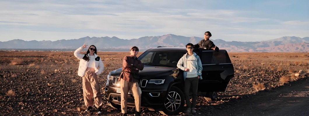
Navigating the rugged mountain roads of Morocco has always been challenging, but using a drone to scout ahead has changed everything. Before setting out, I launch my drone to survey the road for obstacles, landslides, or washed-out sections, providing real-time visuals and GPS coordinates. This foresight allows me to choose safer routes, avoid potential hazards, and plan my journey more effectively. The drone's overhead perspective offers insights into road conditions that are impossible to gauge from ground level, making my drives through the Atlas Mountains smoother, safer, and less stressful. It's like having an aerial navigator, guiding me with precision.

Leave a Comment